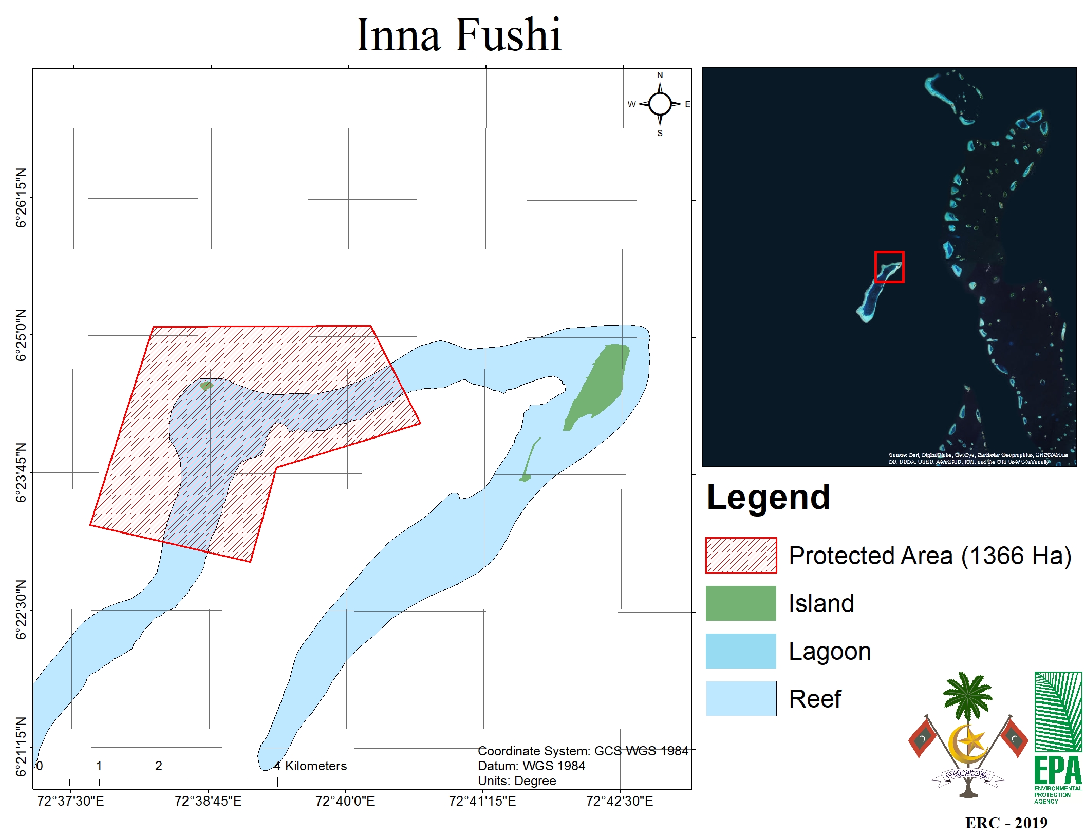
H Dh. Innafushi
HDh. Innafushi
WDPA ID
555697566
Total Area
1,366.00 ha
Status
Contact Number
Innafushi is a small 3-hectare, rock-based island situated in Makunudhoo Atoll’s west edge. This island possesses naturally and environmentally rich characteristics. It is also inhabited by a diverse and abundant range of fauna. Flocks of seabirds frequent this island to nest and lay eggs. Innafushi also happens to be on the west most edge of the Maldives. A lot of ships have wrecked on the “futtaru” point in the past. This is why the people of Makunudhoo atoll refer to this point as ‘boatu urey muli’. When we observe the formation of this island, it can be seen that the majority of its ground area is covered with coral sand (akiri veli). And a pearly white sand beach can be seen on its east side.
Apart from exactly 3 Coconut palm trees, this island contains Lettuce trees (lhos gas), Indian tulip trees (hirundhu gas) and Pemphis (kuredhi gas). The west end of Makunudhoo has a pond connected to the sea. The inhabitants of Makunudhoo refer to this pond as ‘fureytha fengandu,’ translated as ‘monster pond’. The reef surrounding Innafushi is one lush and diverse with marine life. Divers find a special interest with this reef because of the many shipwrecks. Moreover, there is an abundance of different reef fish which can be easily caught in this area. It is also vast in size and accommodates colourful corals and fish species. A lot of fish are caught within the lagoon of the island, and whales and sharks can be observed outside of the island reef. What makes Innafushi substantial to conserve is ultimately its geophysical attributes and the fact that this island is situated on the western most edge of all Maldives.
Gallery

Mohamed Ahmed
05 May 2023


Attributes
- Protected Area Category
-
- Category 7 - Protected Area with Sustainable Use
- Date of Protection:
- 16 June 2019
- Ecosystem Typology
-
- Marine
- Terrestrial
Bookings
Activities
No activities.
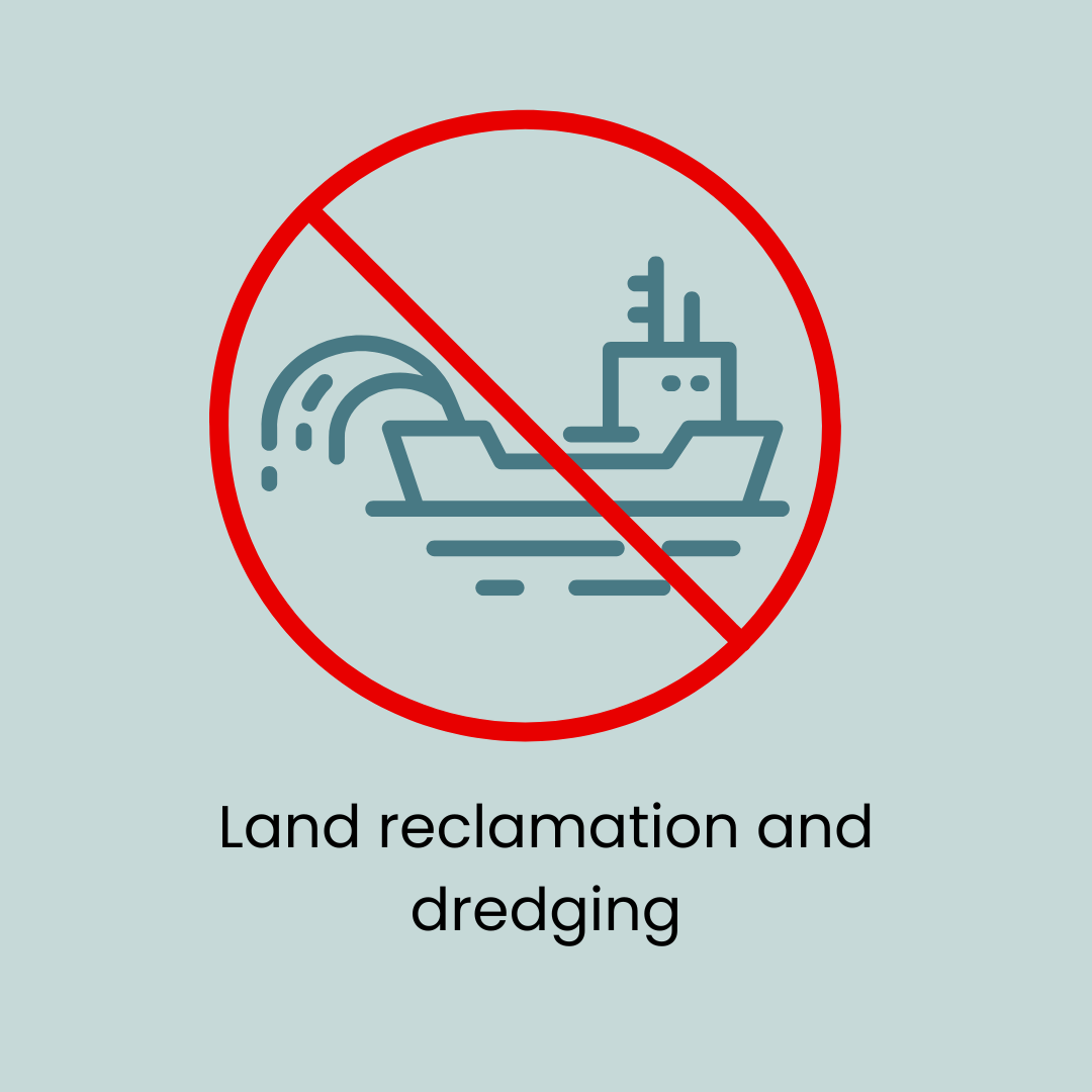
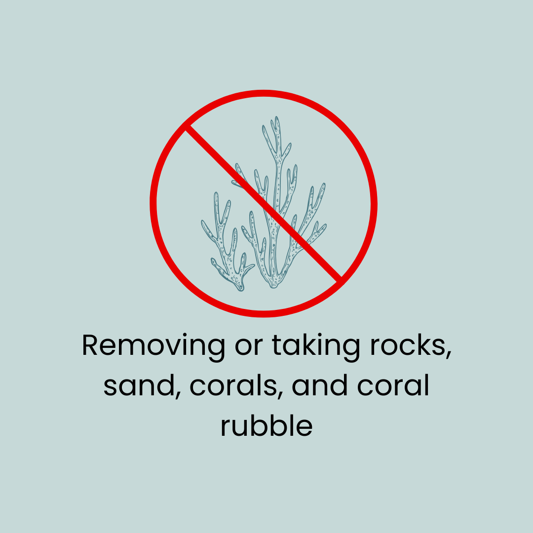
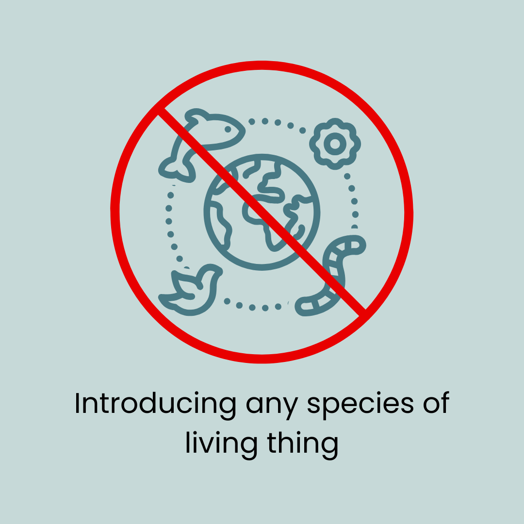
Do's and Dont's


