
V. Vattaru Region
- Vaavu
About this area
Loading map…
The map could not load. Check your connection and try again.
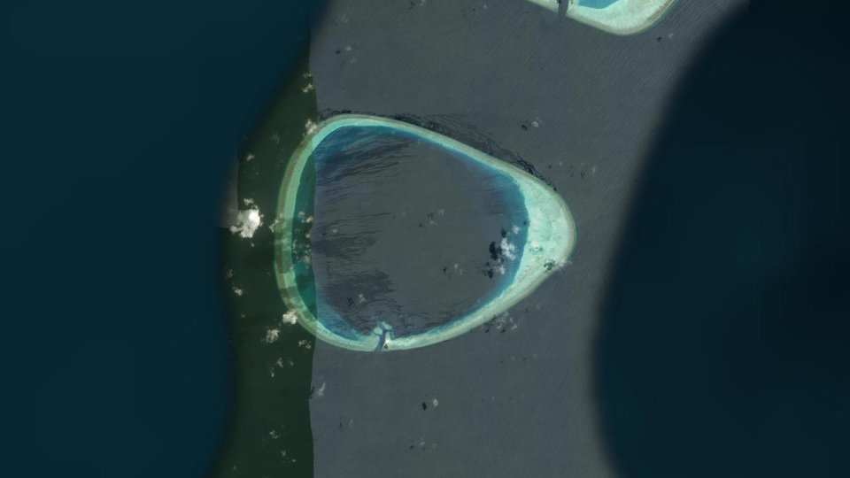
Vattaru Atoll is geographically located between Vaavu and Meemu Atolls. The island of Vattaru is 1.4 hectares and is recorded to have a total of 5 types of trees. The wetland area on the north side of this island is considered to be a healthy environment as all sizes of Bruguiera cylindrica (kan’doo) trees are found growing in it. A lot of Pemphis (kuredhi gas) are also found in this island. Additionally, there are also multiple types of birds seen in this island. These include, Ardea cinereal/ Grey Heron (Maakanaa), Nycticorax/ Black-crowned Night Heron (Raabon’dhi), Charadrius mongolus/ Lesser Sand Plover (Bon’dana), Actitis hypoleucos/ Common Sandpiper (Fin’dhana) and Corvus corax/ Common Raven (kaalhu). Vattaru atoll’s sea is recorded to have a great number of grouper fish. Therefore, it is important to preserve this area and the life in it. In order to maintain the Maldivian protected sea life, it is essential to protect this area as well. In addition, the mangrove and wetlands areas are known to keep the freshwater lens of the island clean and help prevent flooding. They also play a key role in preventing global warming by acting as carbon sinks.
How to visit. Booking is not available online for this area. Contact us for details.
Permits
-
Apply on their portal: Research Permit (opens in a new tab)
Research Permit
Issued by Environmental Regulatory Authority (ERA)
To conduct research in a Protected Area. A research permit is required. The research permit is given by Environmental Regulatory Authority (ERA). Please use the provided link to submit a research permit application to ERA.
Facts
- Status
- Designated
- Total Area
- 9,718.00 ha
- WDPA ID
- 220114
- Date of Protection
- 21 October 1999
Resources
Open in the Knowledge RepositoryIulaan
-
V. Vattaru Region Info Update Iulaan-28Apr2026
Laws, Regulations and Policies 2026 PDF Dhivehi
-
1999 10 dive sites_en
Laws, Regulations and Policies 1999 PDF English No Dhivehi yet
-
10 Dive Sites Protected on 1999
Laws, Regulations and Policies 1999 PDF Dhivehi