H A. Baarah Wetland
HA. Baarah
WDPA ID
555697556
Total Area
51.00 ha
Status
Contact Number
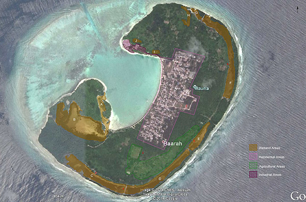
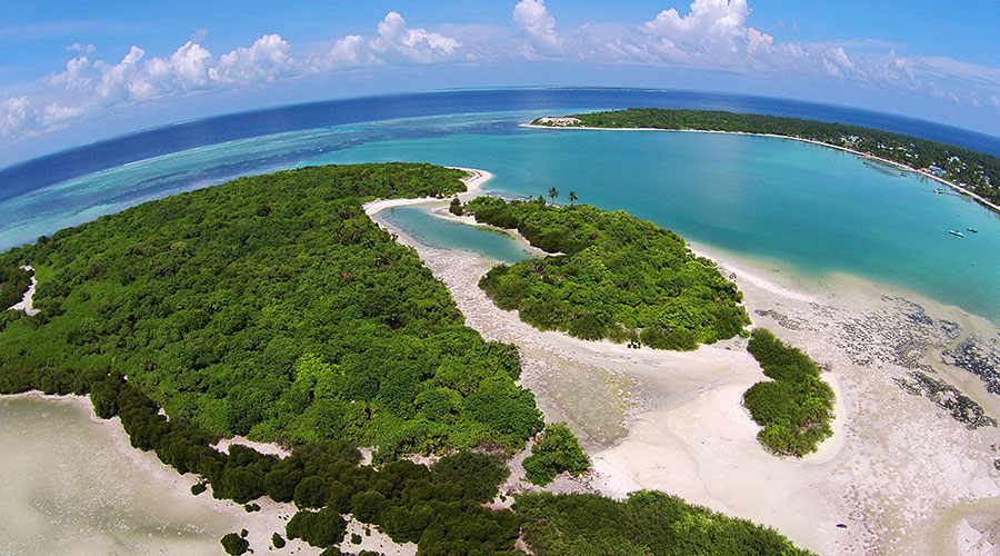
Formed in the shape of the arabic letter 'ب,' Ha. Baarah, even in its formation, is different to other islands, and has unique environmental characteristics. Covering a large area on the eastern side of the island are 10 different areas of mangroves and wetlands, however, there is indication that these areas were once connected. The total area of the island is 256.7 hectares, of which 39 hectares consist of mangroves. It is said that the mangrove area on this island is one of the places that Boduthakurufaanu travelled to on the Kalhu'ohfummi to flee the Portuguese in the 1570s. Six types of mangroves are observed on this island, and a significant number of Small-Leaved Orange Mangrove (Kan'doo) and Red Mangrove (Ran'doo) are found. This area is home to a number of birds, and Common Greenshank (Chonchon Ilolhi), a very rarely sighted bird, has also been observed in this area. In addition to this, the area of the island where the mangrove meets the sea is a nursery for young turtles, rays, different types of fish and sharks.
Zones
Ha Baarah Zone 1
Ha Baarah Zone 1
Ha Baarah Zone 2
Ha Baarah Zone 2
Gallery
Mohamed Ahmed
05 May 2023


Attributes
- Protected Area Category
-
- Category 7 - Protected Area with Sustainable Use
- Date of Protection:
- 30 December 2018
- Ecosystem Typology
-
- Mangrove
Bookings
Activities
No activities.
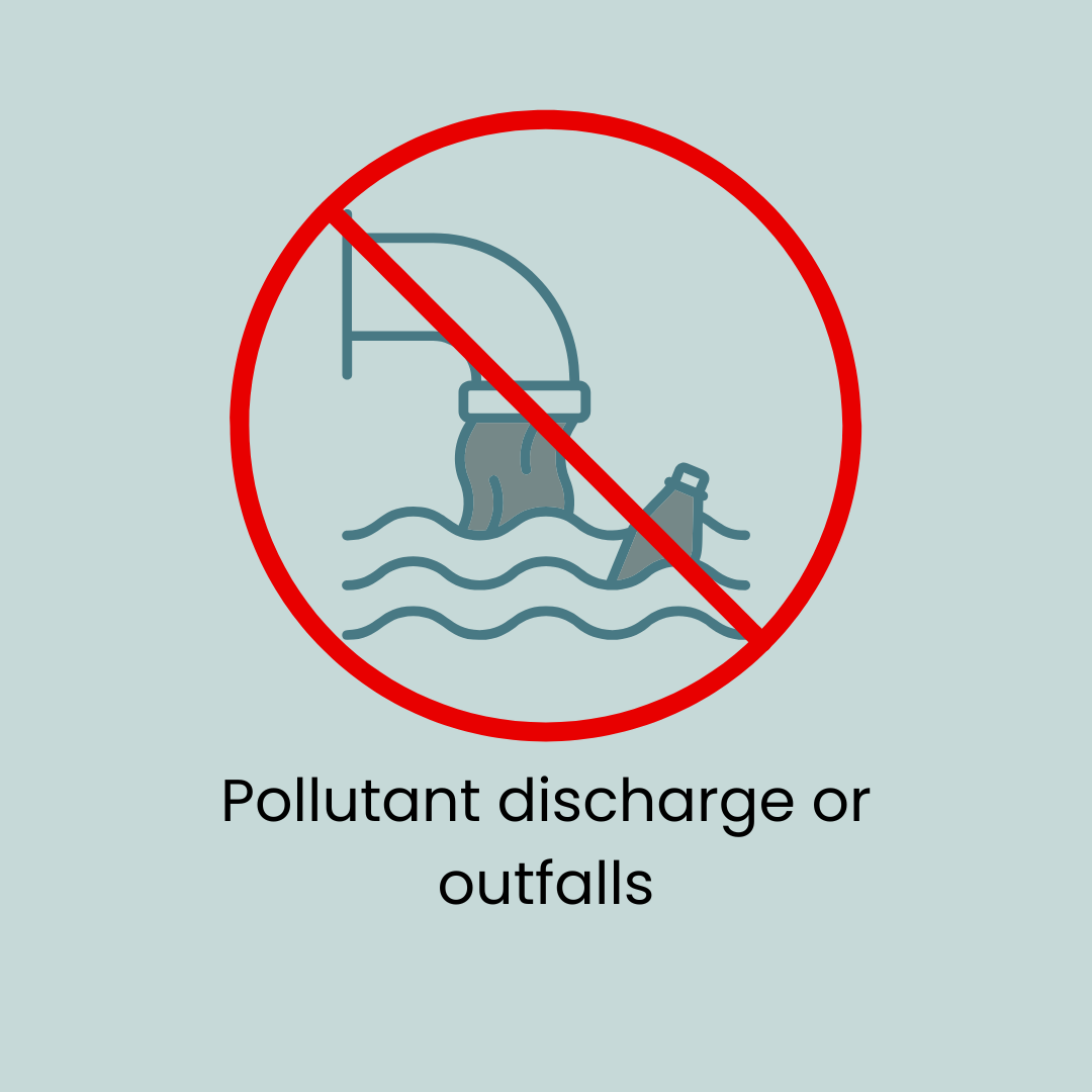
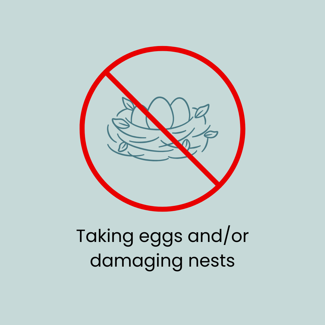
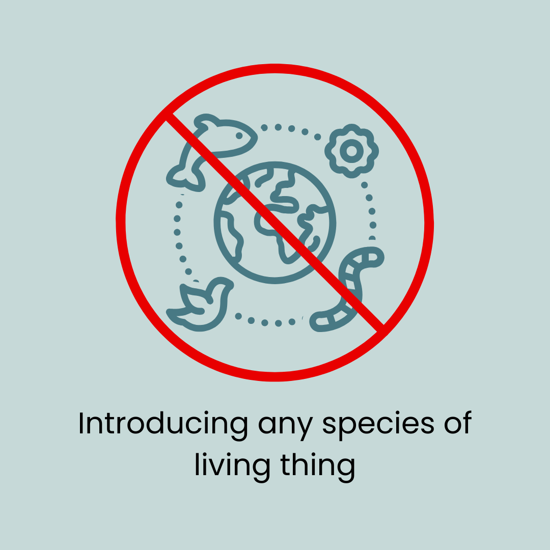
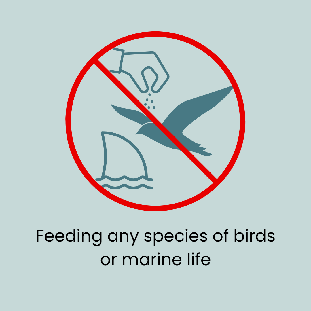
Do's and Dont's


